Mouna Amroussia
University of Jendouba, Tunisia
Scientific Tracks Abstracts: J Environ Hazard
Fire severity, which quantifies the degree of organic matter consumption, is an important component of the fire regime. High-severity fires have major ecological implications, affecting carbon uptake, storage and emissions, soil nutrients, and plant regeneration, among other ecosystem services. Accordingly, spatially explicit maps of the fire severity are required to develop improved tools to manage and restore the most damaged areas. The aim of this study is to develop spatially explicit maps of the field-based fire severity (composite burn index—CBI) from different spectral indices derived from Sentinel 2A images and using several regression models. The study areas are two recent large fires that occurred in Tunisia in the summer of 2021. We employed different spectral severity indices derived from the normalized burn ratio (NBR): differenced NBR (dNBR), relative differenced NBR (RdNBR), and relativized burn Ratio (RBR). In addition, we calculated the burned area index for Sentinel 2 (BAIS2) and the thermal anomaly index (TAI). Different tree decision models (i.e., the recursive partitioning regression method [RPART], bagging regression trees [Bagging], and boosted regression trees [BRT]), as well as a generalized additive model [GAM]), were applied to predict the CBI. The main results indicated that RBR, followed by dNBR, were the most important spectral severity indices for predicting the field-based CBI. Moreover, BRT was the best regression model, explaining 92% of the CBI variance using the training set of points and 88% when using the validation set. These results suggested the adequacy of RBR index derived from Sentinel 2A for assessing and mapping forest fire severity in Mediterranean forests. These spatially explicit maps of field-based CBI could help improve post-fire recovery and restoration efforts.
Mouna Amroussia was doctoral student. Mouna Amroussia enrolled in the 3rd year of doctoral studies in life sciencesand environment speciality in environmental sciences at the Institute of Silvopastoral Tabarka, University of Jendouba-Tunisia.
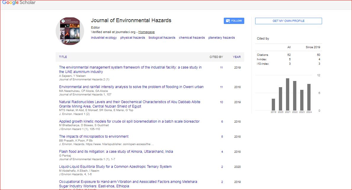
Journal of Environmental Hazards received 51 citations as per Google Scholar report

 Spanish
  Chinese
  Russian
  German
  French
  Japanese
  Portuguese
  Hindi
Hindi 