Sushil Khanduri
Localised heavy rains in the early hours of 14 August, 2017 in the catchment of the tributaries of Kali river, particularly Simkhola Gad and Malpa Gad, caused slope instability and damage in Mangti and Malpa areas respectively. As many as 9 persons were died while 18 persons went missing and 51 animals were lost in these incidences that caused heavy loss of other infrastructure and facilities. Changing pattern of rainfall, construction on loose soils/overburden materials, steep slopes, high altitudes, structural weaknesses and slope degradation processes have significantly increased slope instability in the area that has often resulted in devastated in the area. Besides, increasing economic opportunities in the vicinity of the roads encourages people to settle down in the proximity of the roads and streams. The present paper provides causes of devastation and issue related with this disaster with possible mitigation.
Keywords: Dharchula; Flash floods; Losses; Causative factors; Suggested measures; Uttarakhand
Introduction
In the recent times extreme rainfall events have become common and recurring phenomenon in the Himalaya, especially in Garhwal and Kumaon regions of Uttarakhand and in most of the year’s extreme rainfall events were reported in August during the latter part of the monsoon season [1]. Kandauliya Gad, Uttarkashi (August, 1978), Kaunth, Chamoli (August, 1979), Thalisain, Pauri (August, 1989), Mandal, Chamoli (August, 1991), Bhenti, Rudraprayag (August, 1998), Malpa, Pithoragarh (August, 1998), Burakedar-Agunda, Balganga valley, Tehri (August, 2002), Lah- Jhekla, Pithoragarh (August, 2009) and Asiganga, Uttarkashi (August 2012) in different part of Uttarakhand are the evidences for extreme rainfall events [2-4]. It is observed that the debris flows were the main cause of devastation in all the previous extreme rainfall events and associated disasters.
As communicated by District Emergency operation Centre (DEOC) Pithoragarh flash flood incidences took place at Mangti and Malpa areas on 14 August 2017 amid heavy rainfall at early morning (2:30 am) in the catchment of the tributaries of Kali River, particularly Simkhola Gad and Malpa Gad. Flash floods and toe erosion induced by incessant heavy rainfall in the devastated areas led to loss of human lives, infrastructure and property. This also triggered landslide and debris flow at many places in the vicinity of the devastated areas. No vehicular movement to Mangti and Malpa was thus possible after this tragedy. However, rainfall data could not be recorded due to the absence of meteorological observatories in devastated areas. The details of the losses are summarized in Table 1.
These devastated areas were investigated after the disaster and

traverses were taken around the affected sites to examine the slope instability. Preliminary geological investigations of the study area has been carried out on the basis of Survey of India toposheet numbers 62 B/12 and 62 B/16 on 1:50,000 scale and final field checks.
Literature Research
Pithoragarh: A disaster-prone district
Pithoragarh district is the easternmost frontier district of the Uttarakhand and falls in lesser and Higher Himalaya. Like any other hilly terrain of the state it is most vulnerable to natural disasters. Available extreme rainfall events are collected from various sources and are described in the sections below. During the monsoons of 1998 major rock fall occurred in Malpa that inflicted heavy losses in Malpa village in Pithoragarh district. More than 200 persons were killed in this incidence [4].
In the year 2005, near Dharchula and Munsiyari areas were badly affected due to cloudburst and heavy rainfall. A number of cultivation land and a bridge at Syangatha were washed off. Madkot area of Munsiyari has been destroyed due to lake formation by the Gori and Kali rivers [5]. The Kumaon region was hard hit by landslide and flash floods yet again in 2009 and 2010. In the year 2009, landslide disaster occurred on Kuity village on Berinag-Munsiari road. Two Villages namely Jhakhala and Lah were washed off and took 43 lives [6].
In August 2010 cloudbursts occurred on Munsiari area. Around 38 persons were died in this incidence [7]. 18 September 2010 initiated by heavy rainfall and cloudburst resulting in 19 deaths, widespread damage to property and infrastructures. Landslide hit a primary school at Sumgarh village, Tehsil Kapkot of Bageshwar district where alone 18 children died, and 25 children were severally injured [8]. Similarly, during the monsoon of 2016 as well Didihat, Bastari and Naulra villages of Pithoragarh district were devastated by debris flows and landslide incidences that took toll of 21 human lives [9]. Because of close vicinity of Main Cenrtal Thrust (MCT) zone, the area located in earthquake sensitive region and often experiencing seismic tremors. The area also lies in the high Seismic Zone V [10] and earthquakes of 1979 and 1980 in Dharchula tehsil ravaged several villages along the Kali valley.
The study area
The area investigated lies in the Higher Himalaya in Dharchula Tehsil of Pithoragarh district of Uttarakhand, India and falls in the catchment of Kali River which makes the International boundary between India and Nepal (Figure 1). Enroute to pilgrimage around KailashMansarovar in Tibet, Chota Kailash and Om Parvat in this region are main attractions. The devastated Mangti area (N 30°00'36.211" and E 80°43'7.925") is located at a distance of 30 kilometers from Dharchula town on the roadway. Malpa area (N 30°03'10.959" and E 80°46'12.755") can be approached by road till near Jibti village that is located at a distance of 36 km towards NNE direction from Dharchula. From Jibti one has to travel on foot for around 7 kilometers to reach Malpa village.
Geomorphology and geology of the area
Share this article
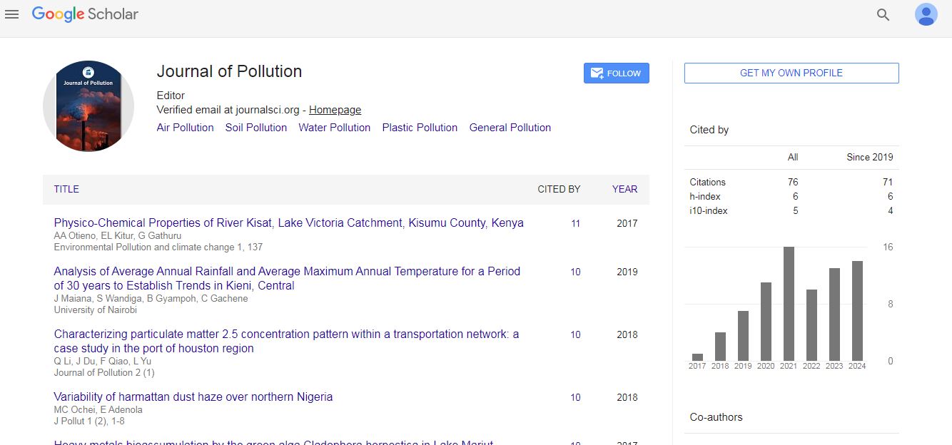
Journal of Pollution received 64 citations as per Google Scholar report